
Progress Monitoring
Clear. Consistent. Reliable.
At LVAS, we provide advanced aerial progress monitoring to give developers, contractors, and stakeholders a precise, real-time view of how their projects are developing. Using high-resolution drone imaging, 3D modelling, and intelligent data analysis, we deliver accurate visual updates that keep your entire team aligned from start to finish.
Our service enhances transparency, improves communication, and ensures every decision is backed by verified site data.
Better oversight & Accountability with early detection helping keeping things on track.
What Our Progress Monitoring Delivers
Consistent, High-Quality Visual Updates
Scheduled aerial imaging at key project stages
Clear comparisons of planned vs. actual progress
2D maps and 3D models for measurable tracking
These updates provide a reliable record of how your project is progressing at all times.
Stronger Stakeholder Communication
Shareable visuals that are easy to understand
Transparent reporting for clients, investors, and partners
Eliminates guesswork and speeds up decision-making
Everyone stays informed and aligned—reducing delays and miscommunication.
How We Present Your Progress
Precision Data Capture
High-resolution aerial imaging
Advanced mapping and digital modelling
Accurate, repeatable capture angles for consistent comparisons
Clear, Easy-to-Understand Reporting
Annotated visuals highlighting key findings
Progress summaries for quick stakeholder updates
Action-focused insights for project managers
Your data is clear, concise, and actionable—no technical expertise required.

Choose LVAS to help reduce costs and to prevent cost overruns.
Our Services
-
![]()
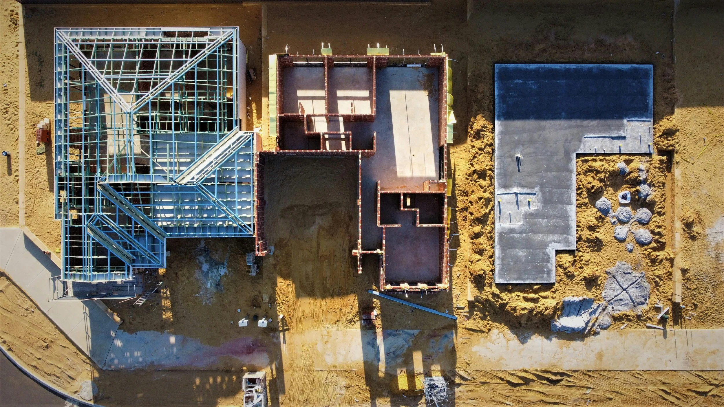
Construction Progress Monitoring
-
![]()
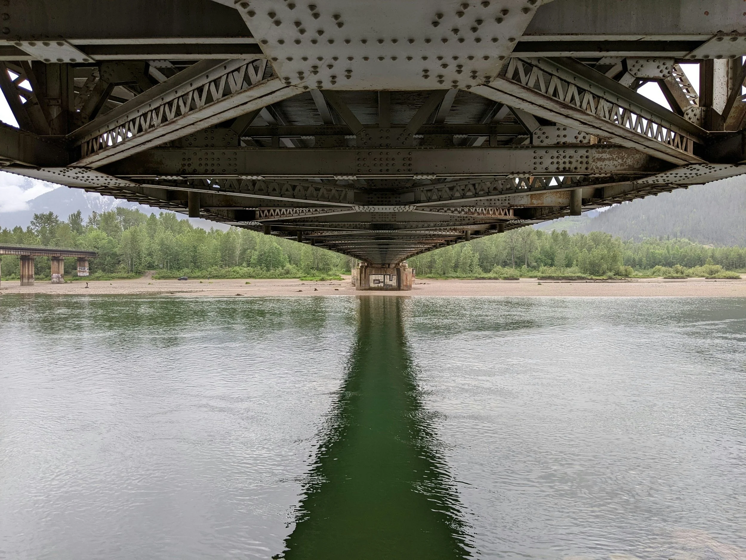
Infrastructure Progress Monitoring

Contact us.
Contact@LVAS.co.uk
Bartle House, Oxford Court, Manchester, M2 3WQ
