
Planning & Development
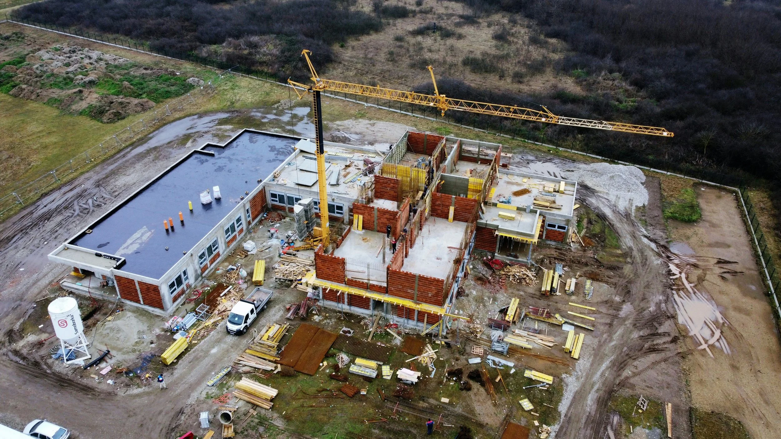
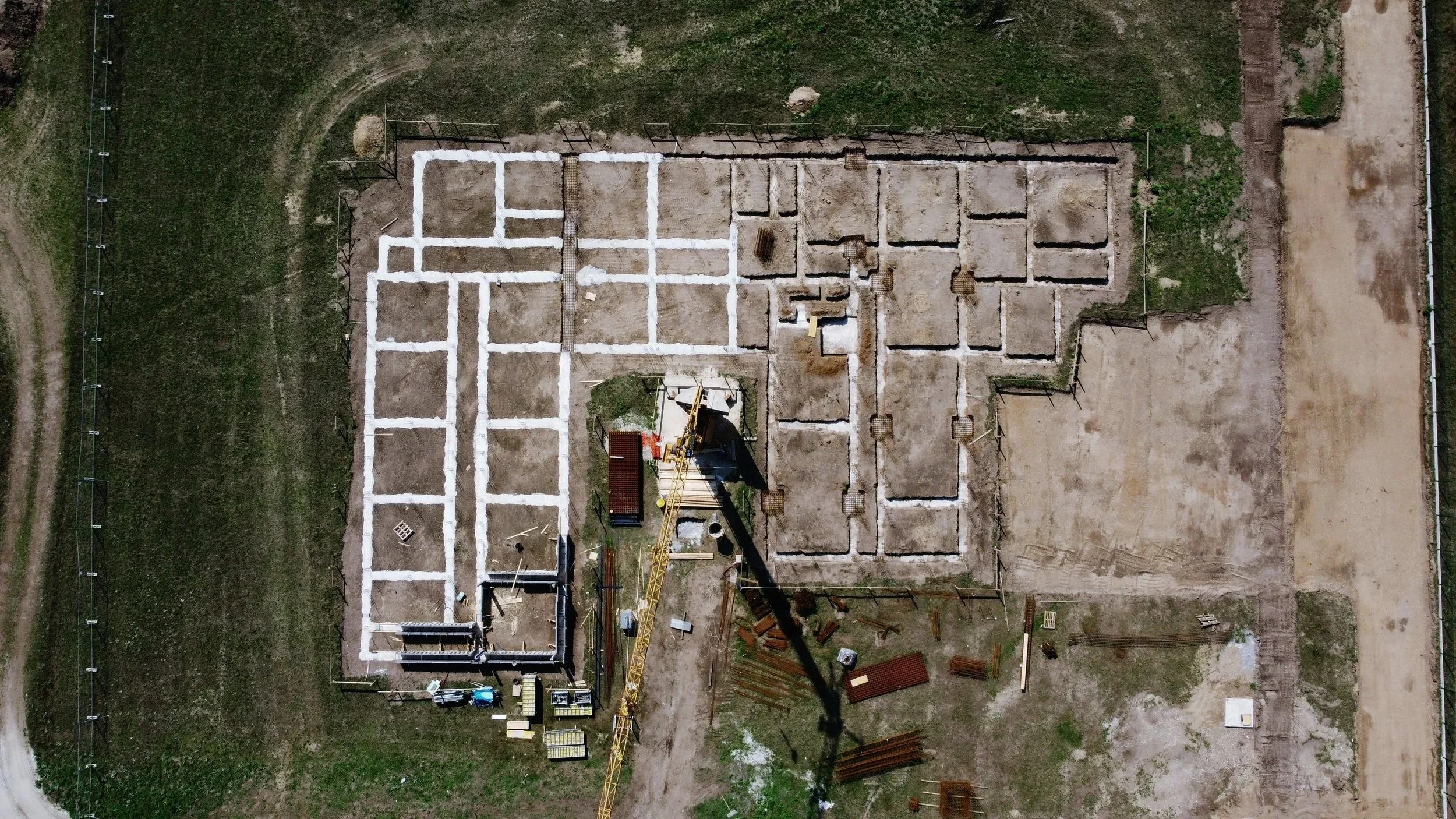
At LVAS, we streamline the planning and development process with advanced aerial surveying, mapping, and 3D modelling solutions. Using state-of-the-art drone technology, we capture accurate geospatial data and high-resolution imagery that support every stage of project design, planning permission, and development.
Our aerial surveys provide planners, architects, and engineers with the reliable information needed to assess land, visualise proposals, and progress projects with clarity and confidence.
We Deliver Reliable, Actionable Data using the most up to date 3D Modelling & Visualisation
What Our Planning & Development Surveys Provide
Accurate Geospatial & Topographical Data
Precise 2D mapping for land assessment
High-resolution terrain modelling and contours
Volumetric calculations for cut-and-fill analysis
These insights help teams understand site conditions before breaking ground.
Support for Planning Applications & Compliance
Comprehensive datasets for planning permission
Visual evidence for environmental and impact assessments
Clear documentation for regulators, stakeholders, and local authorities
Better data leads to faster approvals and fewer project delays.
Precision Aerial Data Capture with 3D Modelling & Visualisation
High-resolution drone imagery and geospatial mapping
Consistent, repeatable measurements for long-term development tracking
Integrated datasets ready for CAD, BIM, and GIS workflows
Detailed photogrammetry and digital site reconstructions
True-to-life models for design development
Intuitive, Easy-to-Use Outputs
Visual maps, models, and reports tailored to your project
Data formatted for architects, engineers, and planning teams
Clear visuals that simplify complex site information for all stakeholders
We make advanced surveying accessible, accurate, and highly practical.
Choose LVAS for planning & Development as we provide the best mapping and modelling for the right price.
Our Services
-
![]()
Planning Permission
-
![LiDAR, 3D Modelling & Spatial Data]()
LiDAR, 3D Modelling & Spatial Data


Contact us.
Contact@LVAS.co.uk
Bartle House, Oxford Court, Manchester, M2 3WQ
